Add Overlay From Geoserver


Does it provide it as a standard OSM-like tile format? Then just add it as a custom overlay.

We've managed to do exactly this in the legacy version rendering layers from a geoserver, but sofar running into issues with doing the same in the modern version.
So I will follow this topic for now..

Can anyone tell what kind of overlay would be interesting ?
Heavily depends on your use case. We have a use case with lifeguard locations. Hence various add-on information (on top of the normal map) becomes useful for our users. Such as locations of beach restaurants and or other buildings, that under normal cirumstances don't need to be on the map, but become useful at certain times.
Actually, I'm still confused about how to use overlays on Traccar or for simple cases are there any examples of how to use custom overlays on Traccar?
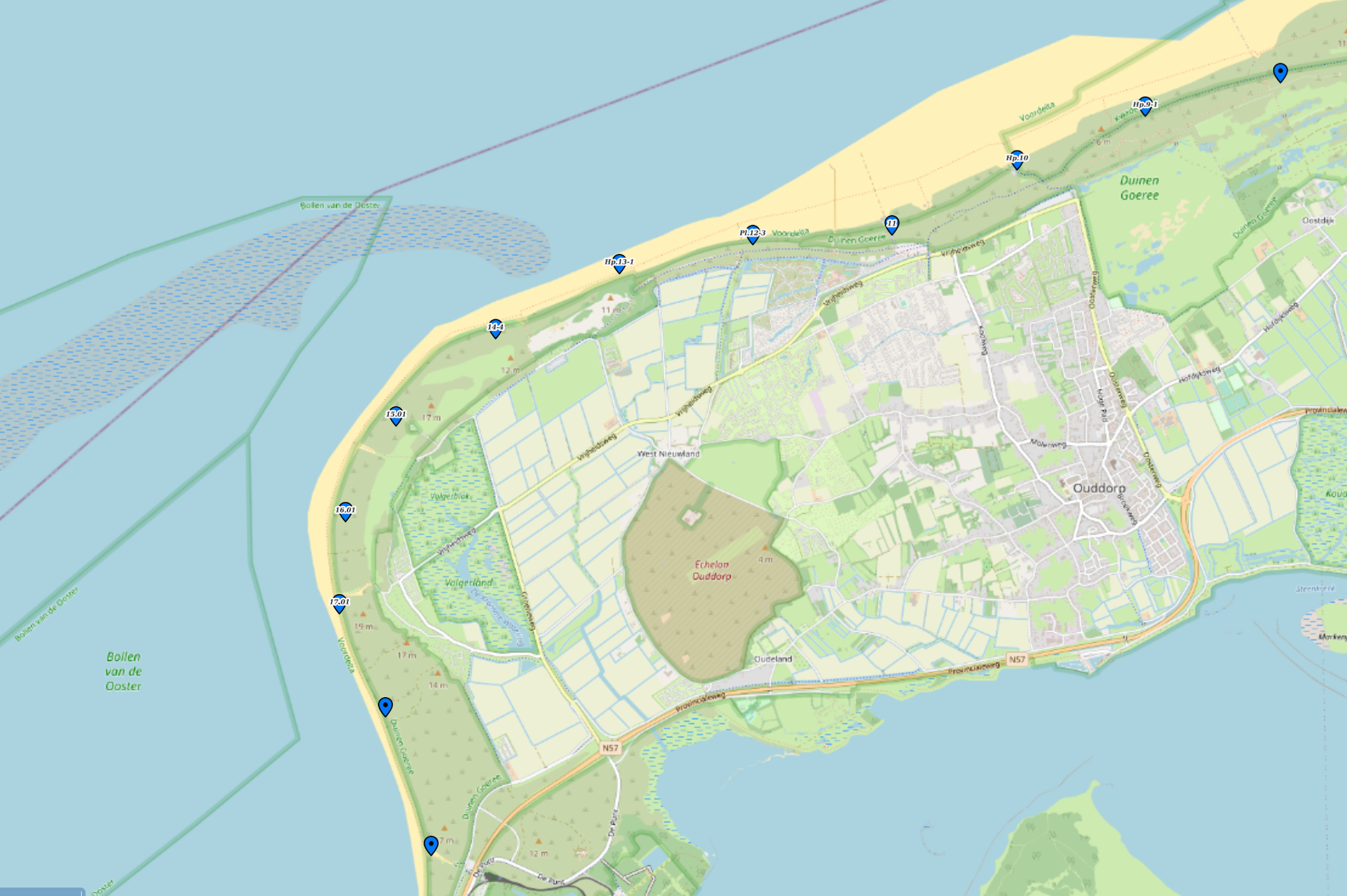
Example would be this use case:
The blue icons are an overlayer (user can select or unselect on any basemap) these are location markers of numbered poles on the beach used by various organizations to identify locations.
As mentioned this is in the legacy environment, as we don;t have it working in the modern version yet.

Saludos
He intentado añadir XYZ tile con formato {z}/{x}/{y}.png en el campo Overlay pero no superpone la capa ¿Saben qué formato debo utilizar?
Hi everyone,
I'm still newbie to Traccar, I have a layer from Geoserver, and I want to add a layer from Geoserver to the Traccar map as an Overlay, is that possible?
What can I do to make the layer appear in Traccar ?
Thank You.